Overview
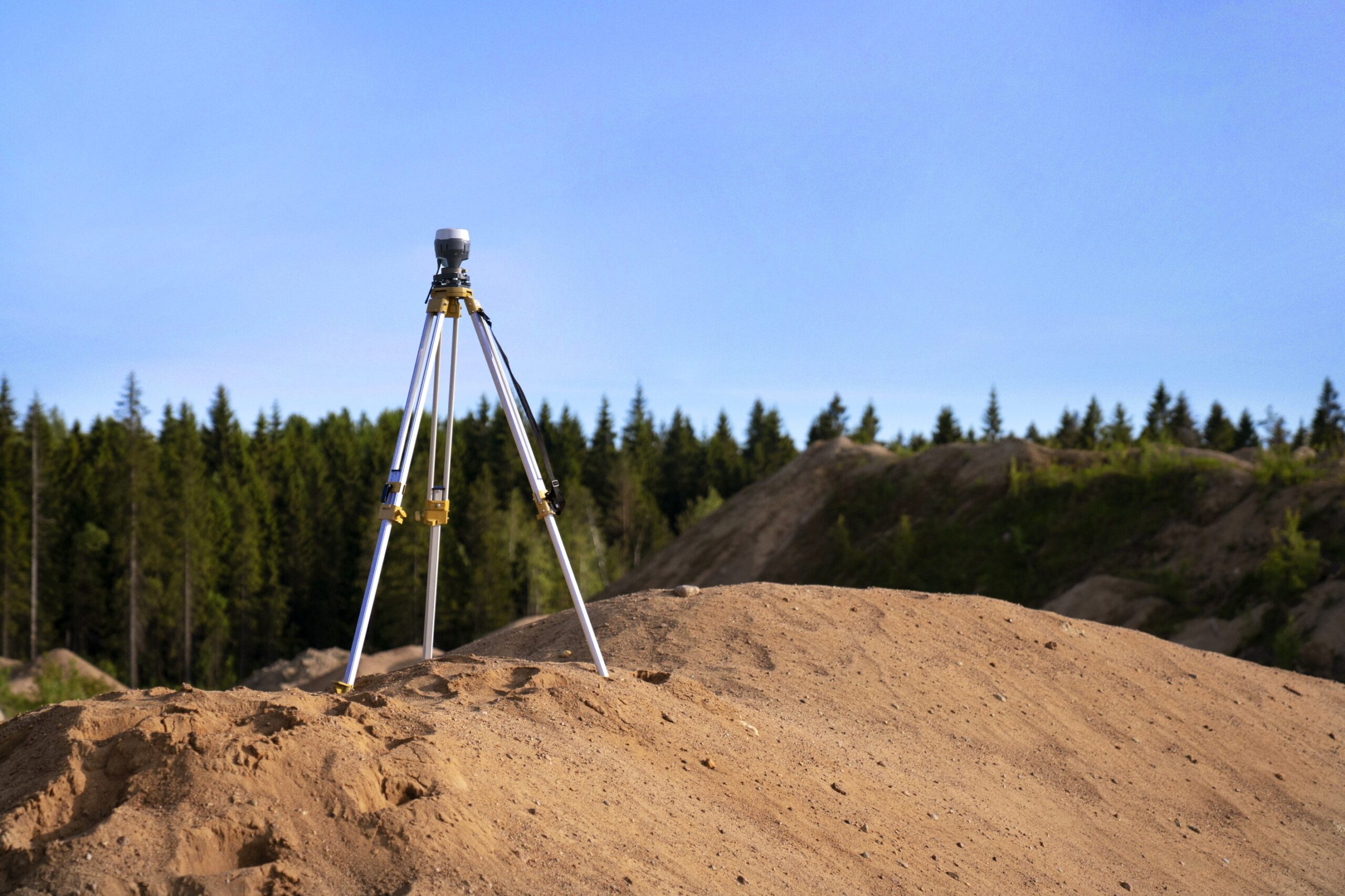
Survey by geopositioning is a method of mapping and modeling the physical world using GPS (Global Positioning System) technology. It uses signals from satellites to pinpoint a location on the Earth’s surface and can provide surveying and mapping data of high accuracy. GPS-based data collection is much faster than traditional surveying methods.
Project Planning
satisfied Service
Dedicated Team
Benefits of Service
One of the main advantages of GPS survey is its high level of accuracy. GPS surveying can achieve sub-meter and even centimeter-level accuracy, depending on the type of GPS system used and the correction methods applied. This level of accuracy is much higher than traditional surveying methods, such as total stations or traditional ground-based methods, which can only achieve accuracy in the range of a few centimeters to decimeters.
Additionally, GPS surveying allows for the collection of data in real-time, which eliminates the need for multiple visits to the survey site. It also allows for the collection of data in remote or hard-to-access areas. This can save time and money compared to traditional methods. It also allows for the integration of data from multiple sources, such as satellite imagery, aerial photographs, and field measurements. This can provide a more complete picture of the survey area.


