Overview
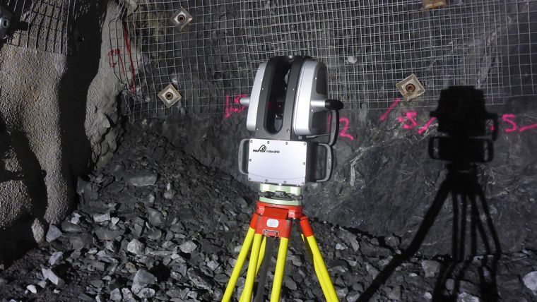
Laser scanning can be used to create highly detailed 3D models of objects and environments, such as buildings, landscapes, and infrastructure. It can also be used to create digital elevation models (DEMs) and to collect data for surveying, engineering, and architectural applications. Laser scanning can be done either by using a ground-based scanner or by mounting the scanner on a vehicle or an aircraft. The data collected by laser scanning can be used to create detailed 3D models, maps and orthophotos, which can be used for various purposes such as building design and construction, asset management, and emergency management among others.
Project Planning
Satisfied Service
Dedicated Team
Benefits of Service
In surveying, laser scanning can be used for a variety of applications such as topographical surveys, building surveys, and engineering surveys. It can be used to collect data for land and property boundary surveys, engineering design, and construction layout. The data collected by laser scanning can also be used to create detailed digital elevation models (DEMs) and to measure volumes and areas of stockpiles, excavation and embankments.
Laser scanning can also be used in the surveying industry to create as-built documentation of existing structures and infrastructure, which can be used for asset management and maintenance planning. Additionally, laser scanning can also be used for monitoring movements and deformations of structures, such as bridges and buildings, over time.


