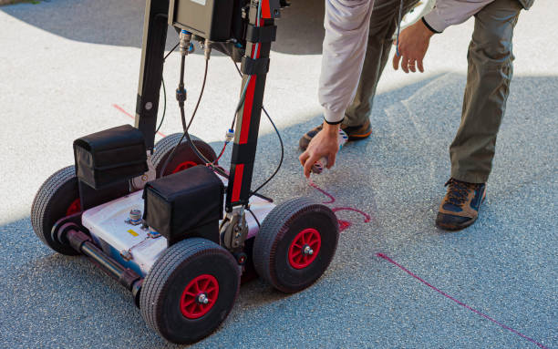
Overview
Ground Penetrating Radar (GPR) is a geophysical method that uses radar pulses to image the subsurface of the earth. GPR emits electromagnetic waves at a frequency between 30 MHz and 2.6 GHz and detects the reflected signals from subsurface structures. It is a non-destructive method and it can be used to map subsurface features such as buried utilities, voids, and underground storage tanks. GPR can also be used to detect subsurface changes, such as soil compaction, and to measure the thickness of pavement layers and the depth to rock.
GPR can penetrate many types of soil and rock, and it can locate both metallic and non-metallic objects. It can also be used to locate underground utilities, such as water and gas pipes, as well as to identify potential hazards, such as buried drums or unexploded ordnance. GPR can also be used in archaeology, environmental studies, and forensic investigations, among other applications. The main advantage of GPR is that it can image the subsurface without drilling or excavating, which makes it a non-destructive and cost-effective method.
Project Planning
Satisfied Service
Dedicated Team
Benefits of Service
GPR is used in a variety of applications, such as locating buried utilities, detecting subsurface voids, mapping soil and rock layers, detecting underground storage tanks and pipelines, locating buried archaeological artifacts, and detecting subsurface water. It can also be used in the field of civil engineering and construction to detect reinforcing bars in concrete structures, detect voids and delaminations in concrete pavements, and locate underground storage tanks.
There are many variations of passages of Lorem Ipsum available, but the majority have suffered alteration.


